Today, at a glance
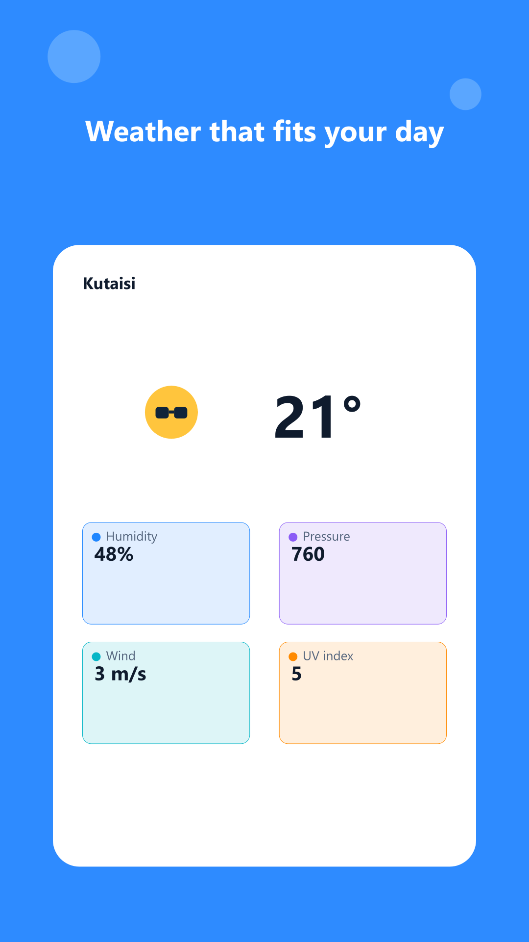
Temperature and what it feels like, how today compares to yesterday, humidity, pressure, wind, UV and geomagnetic activity. An hourly strip and a nine-day forecast.

A personal forecaster for people who go outside. It knows what the pass will be like when you get there.
There are hundreds of weather apps and they all answer a question you do not have: what is the weather in town right now. You are heading out on a route, and what you need to know is different — what the pass will be like at three in the afternoon, when you reach it.
That is what Trailcast works out. Build a route and every point gets a forecast for the hour you arrive, corrected for altitude. Storm warnings come straight from the national weather services. Out there it tells you how much daylight is left and when to turn back, gives you a bearing to the next point and the freezing level.
And when the signal goes — and it goes exactly where the forecast matters most — it keeps working: everything is already in your pocket. This is not a weather app. This is who you walk with.
A forecast shows the weather in the city, now. But if you are heading out on a route you need something else: what it will be like on the pass at three in the afternoon, when you get there.
That is the question Trailcast answers. Build a route from points and the app scores each one for the hour you expect to arrive, corrected for altitude. The storm on the pass becomes visible before you leave the house rather than once you are on it.
The forecast comes from national weather services directly; storm warnings from MeteoAlarm across Europe and the US National Weather Service. The sources are named in the app and open to checking.
Alongside them are our own alerts for rain, thunderstorms, wind, heat, frost, high UV, geomagnetic storms and poor air. Not "precipitation possible", but the things that decide whether you go or stay.
How much daylight is left and when to turn around. A compass and bearings to saved points. Field risks and the freezing level. Emergency numbers that work with no network.
GPX import from any planner: the route assembles itself and leg times are filled in from distance and ascent. Export back out as well.
The forecast is cached on the device and shown when the network is not there. For this audience that is not a nicety — it is the thing that is usually missing at the exact moment the information matters most.
And for every day: a large temperature, what it feels like, how today compares to yesterday, an hourly strip, nine days ahead, precipitation radar, air quality, and advice on what to wear based on the felt temperature rather than one number.
Temperature and what it feels like, how today compares to yesterday, humidity, pressure, wind, UV and geomagnetic activity. An hourly strip and a nine-day forecast.
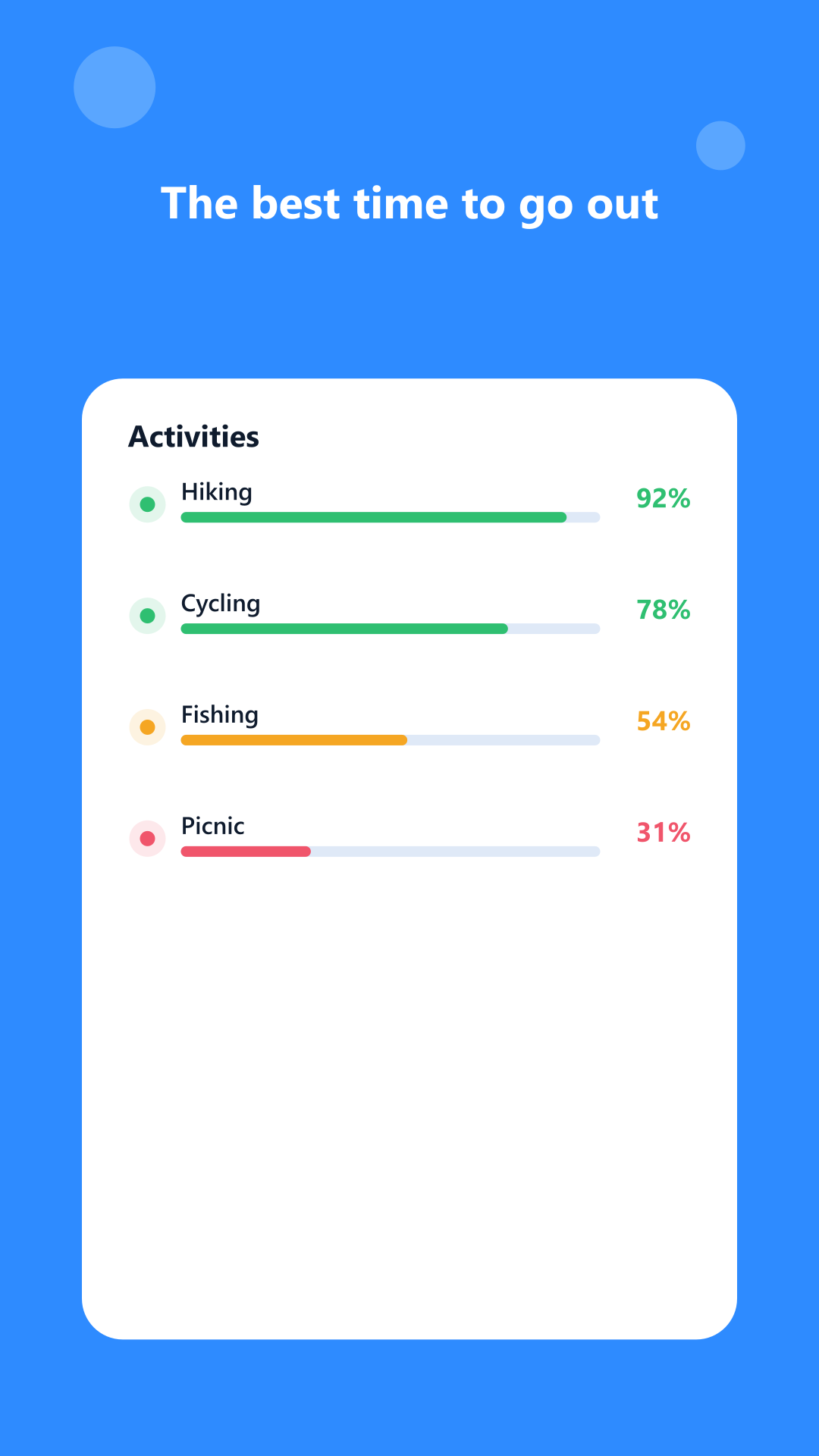
Advice from the felt temperature, the rain, the wind and the UV — not from one number on a thermometer.
Storm warnings straight from the national services: MeteoAlarm across Europe and the US National Weather Service.
Build a route from points and Trailcast scores each one for the hour you expect to arrive. The storm on the pass is visible before you leave. GPX in and out.
Daylight left and turnaround time, a compass and bearings to waypoints, field risks and offline emergency numbers.
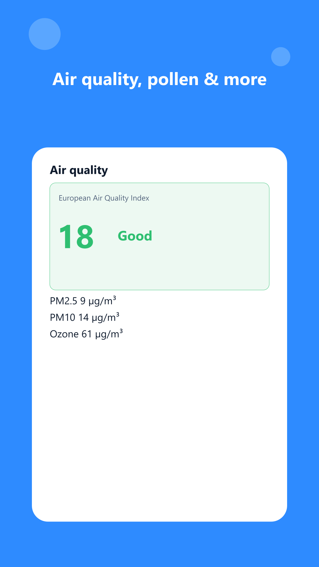
Precipitation map and air quality, next to the forecast rather than in a separate app.
The forecast is cached on the device and shown when the network is gone — which is exactly what this audience usually lacks.
The app shows ads. Data: MET Norway (CC BY 4.0), OpenWeather and NOAA — the sources are credited in the app’s About section.